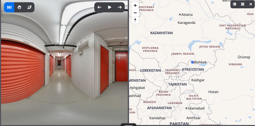
How to Update GPS Location of an Image
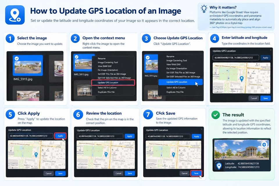
What is Update GPS Location?
The Update GPS Location feature allows you to set or update the latitude and longitude coordinates of an image.
Platforms like Google Street View require embedded GPS coordinates and panorama metadata to automatically place and align 360° photos at the correct location on a digital map.
How do I use Update GPS Location?
- Select the image you want to update.
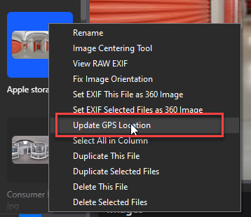
- Right-click the image to open the context menu.
- Select “Update GPS Location.”
- Enter the latitude and longitude coordinates in the location field.
- Click “Apply” to update the location on the map.
- Review the location shown on the map.
- Click “Save” to save the updated GPS information to the image.
What is the final result?
The image is updated with the specified latitude and longitude GPS coordinates, allowing its location information to reflect the selected position.